Providing survey solutions to the whole of the UK for multiple sectors from construction, quarry, utility, energy and rail
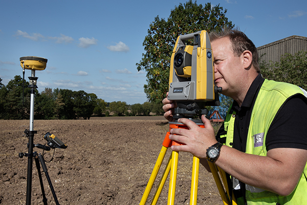
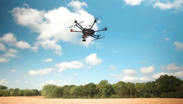
From the air to underground and all in-between
UTSS provide a 360-degree solution to the survey needs of their clients from aerial surveys with our fleet of cutting edge drones and sensors to land based surveys through to underground utility mapping.
Our Services
Follow the links to learn more:
Overhead Line Survey & Design
Underground Utility Mapping
UAV Survey and Inspection
Topographical Surveys
Other Services
Client Testimonials
Offering bespoke topographical surveys & mass data capture
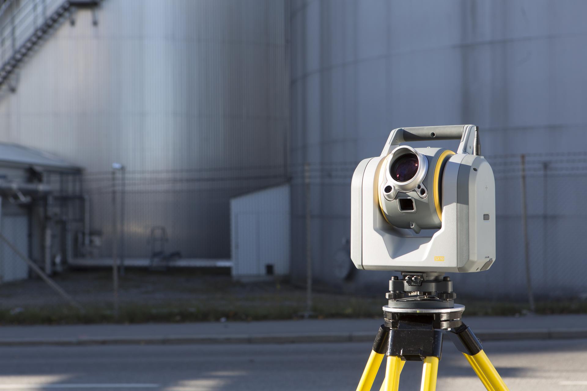
UTSS Ltd utilise the latest technologies, from traditional surveying methods to 3D laser scanning and UAV’s which offer bespoke surveys and mass data capture that some traditional methods do not allow.

Traditional Survey Equipment

Cutting Edge Technologies

Health & Safety Compliant

Comprehensive Data & Reporting
Stay Connected
Our newsletters allow you to find out more about current projects and the technology we use. You can download newsletters from their individual links or view them online. You can also sign up to receive future editions – simply use this form.
Clients we've worked with
