Western Power: Obtaining detailed topographical data to facilitate 11kv overhead line survey in challenging area
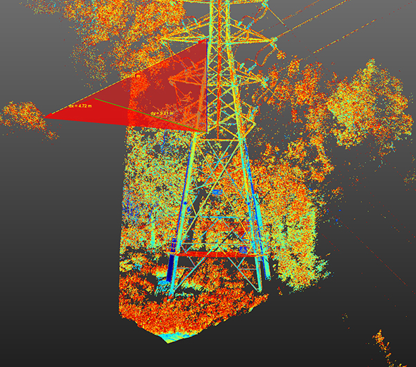
LiDAR technology is a cutting-edge surveying technique we use at UTSS to map out areas of great density that are difficult to access – for example, rivers, railway lines and heavily vegetated areas such as forests. Effectively, it’s able to ‘see through’ vegetation.
The Issue
Western Power Distribution needed us to obtain detailed topographical data of the busy M50 motorway for an 11kv overhead line survey which was blocked by a corridor of dense vegetation on one side of the carriageway.
Our Approach
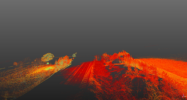
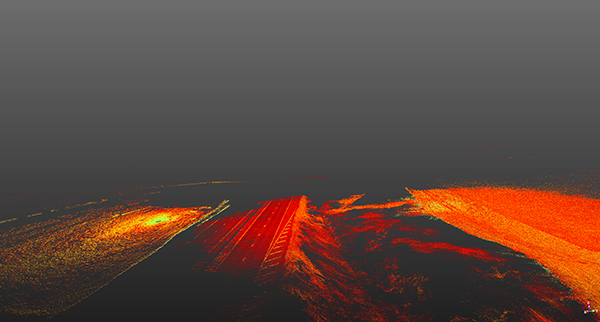
We utilised LiDAR laser-guided technology to determine ranges by targeting objects around the motorway and measuring the time it takes for the reflected light to return to the receiver. This allowed accurate ground data to be captured and for a digital surface model to be produced.
Not only is LiDAR useful for surveyors, but it also removed a large amount of human risk. Trying to gather images close to hazards is dangerous. LiDAR allowed this risk to be lowered through our use of unmanned aerial vehicles (UAV).
The payload was mounted to a UTSS drone, giving us more control and the ability to reach areas that would otherwise be inaccessible, enabling us to do the best job possible, and safely.
The Results
We used a LiDAR payload to obtain all the necessary imagery on the M50 for Western Power with no disruption to traffic and without anyone having to set foot onto the motorway.
- No road closures
- No lane closures
- No expensive traffic management
- No upset to road users or putting operatives on live carriageways
Clients we've worked with
