Topographical Surveys

At UTSS Ltd we can provide invaluable information for any project feasibility study, revealing an accurate and visual depiction, to scale, of the site in question, whether construction (new housing and hospitals), highways (maintenance and construction) quarry work, and green and brown field projects. The information that UTSS Ltd supplies enables a project to move swiftly to the planning phase.
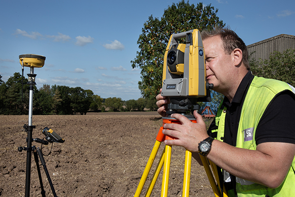
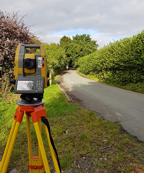
We use a Hybrid Total Station and GNSS RTK Network Solution along with 3D Laser Scanning, Photogrammetry and a drone based LiDAR in order to gather accurate and cost effective data for our individual clients throughout the UK. We work to ensure your specific needs and requirements are met.

